
Cruising the Channel Islands from the West Country
Guernsey lies a long day and a night from Falmouth or Plymouth. This guide covers the crossing, the tidal gates that rule every hop between the islands, and the pilotage that keeps you off the rocks.
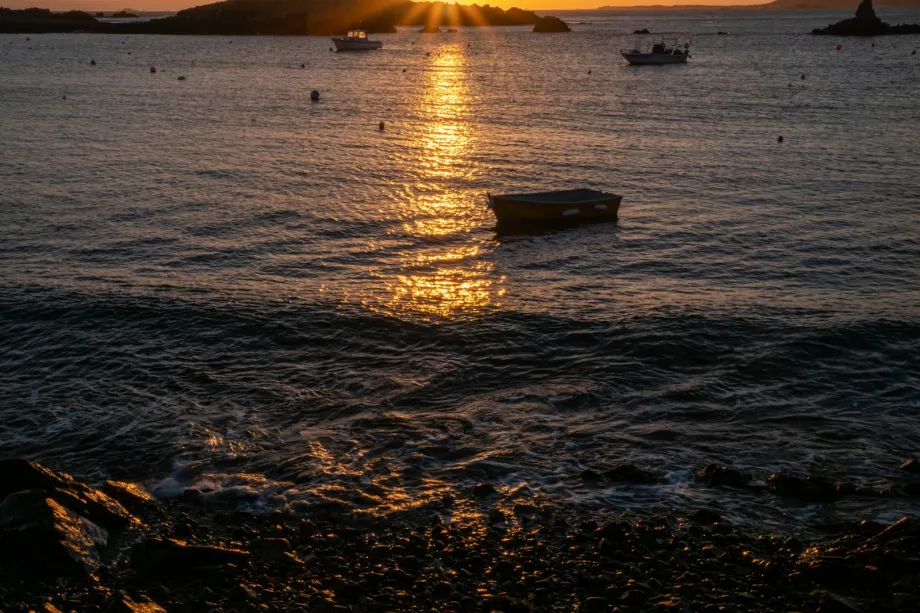
Leaving the West Country
Setting off for the Channel Islands from Cornwall or Devon usually means a passage of around 100 to 110 nautical miles. Falmouth, Plymouth, and Dartmouth are the standard departure ports on the South West coast. A typical crossing takes between 16 and 22 hours, depending on your vessel, wind strength, and tidal set.
Departure timing depends heavily on the coastal tide off the West Country headlands. You want to clear Lizard Point, Start Point, or Rame Head with a favourable stream before hitting open water. Crossing the shipping lanes in the English Channel requires a sharp lookout. Keep a steady course that cuts across the Traffic Separation Schemes at right angles.
Prevailing south-westerly winds provide a fast reach in steady weather. However, wind-over-tide conditions in the deep water generate short, uncomfortable seas. Monitor the weather forecast for incoming fronts. A sudden shift in wind direction combined with a spring tide can turn a smooth run into a difficult beating match.
Understanding the Channel Waters
The waters around the Channel Islands feature some of the strongest tidal streams in Europe. Spring tides produce ranges over ten metres in ports like St Helier and St Peter Port. Water is squeezed through the gaps between the islands and the French coast, and in the narrowest channels the stream can run faster than many small yachts can motor.
If you arrive during a light breeze, a strong counter-stream will stop your progress entirely or push you off course towards dangerous reefs. Your actual track across the seabed will look like a wide S-curve rather than a straight line. Calculate your leeway and tidal vectors before leaving your departure berth.
The direction of the stream changes quickly around headlands and sound channels. Missing a tidal gate by thirty minutes can leave you battling a massive wall of moving water for hours.
Making Landfall at St Peter Port
St Peter Port on the east coast of Guernsey serves as the ideal first landfall for yachts coming from Devon or Cornwall. The approaches are direct, but you must respect the rocks off the northern tip of the island and the speed of the current through the Little Russel channel.
The port uses a clear channel system with visible lead marks for night arrivals. Outside the main harbour, visiting boats can tie up on the holding pontoons or grab a deep-water mooring buoy. Entry to the inner Victoria Marina depends on a flap gate, which opens roughly two to two and a half hours either side of high water.
Time your arrival to enter the Little Russel on a rising tide. This ensures sufficient depth over the marina sill and gives you a smooth run into the harbour. If you arrive at low water, prepare to wait on the outer pontoons until the tide rises. The harbour master manages traffic on VHF Channel 12.
St Peter Port provides a complete stopover for crew rest, clearing customs, filling water tanks, and taking on diesel. Check the depth at the fuel berth against your draught before you go alongside, especially near low water.
Tides, Gates and Local Streams
Once anchored or berthed in Guernsey, moving between the neighbouring islands requires tight timetable planning. Distances between Guernsey, Herm, Sark, Jersey, and Alderney are relatively short, often under twenty miles. Yet these brief runs demand far more attention to timing than an open sea crossing.
Passage to Alderney and the Race
Alderney sits twenty miles north-east of Guernsey. The key hazard on this leg is passage through the Swinge or the Alderney Race. Streams in the Race reach up to nine knots on spring tides. When a strong wind blows against this body of water, overfalls build up into dangerous standing waves.
Leave St Peter Port at the start of the north-going flood tide to ride the stream all the way into Braye Harbour. Entering Braye Harbour requires caution during northern or north-easterly winds, as the long breakwater does not offer complete protection against heavy ground swells.
Crossing to Jersey
The passage south from Guernsey to St Helier crosses the Big Russel, where streams run hard between Herm and Sark. Correct timing on departure stops your boat from getting dragged east towards the dangerous Minquiers reef system.
St Helier Marina also relies on a tidal sill. Arriving at low water spring tide leaves you anchored in the outer roads or waiting at the holding pontoon. Compute your arrival height carefully, particularly if your yacht draws over two metres of water.
Pilotage and Island Hopping
Navigating around Herm and Sark relies on traditional visual pilotage skills. Electronic charts help, but extensive rock formations, drying ledges, and sudden depth changes mean you must keep a continuous eye on the chart and the water ahead.
Anchorages at Herm
Herm offers exceptional anchorages such as Shell Beach on the north-east side and Belvoir Bay on the east coast. The island has no deep-water marina, offering only a small half-tide harbour for local craft.
Anchoring off Herm requires confidence in your ground tackle and seabed assessment. The bottom is mostly sand, but granite ledges lie buried beneath the surface. Watch the tide tables constantly. A bay that appears deep at high water can turn into a dry patch of sand six hours later.
Around Sark
Sark rises steeply out of the sea with high granite cliffs and dramatic bays. Creux Harbour and Maseline Pier on the east side have limited room for visitors, while Havre Gosselin and Derrible Bay offer moorings and anchorages depending on wind direction.
Picking up a visitor buoy at Havre Gosselin puts you right under towering rock faces. The tidal current sweeps past these anchorages, so check buoy pennants and double your lines. Access to the island from Havre Gosselin involves climbing a steep path and a long set of steps up the cliff face.
Rocks and Transit Marks
Reefs extend far from the shores of all the Channel Islands. Ledges like the Casquets off Alderney or the Dirouilles north of Jersey have claimed many vessels over time.
Rely on clear transit marks and back-bearings when running narrow channels. Do not attempt shortcuts around headlands or cut inside cardinal buoys. Look out for transit beacons, conspicuous towers, and natural landmarks listed in local pilot guides. Keep a depth sounder running, and calculate your tidal height accurately when crossing shallow passages.
Cruising these islands develops sharp seamanship. Respect every tidal gate, calculate your stream vectors, and keep a close eye on the depth. The reward is some of the finest coastal sailing available in home waters.
Frequently asked questions
What is the best departure port in the West Country for the Channel Islands?
Falmouth, Plymouth, and Dartmouth are all excellent starting points. Plymouth and Falmouth offer direct lines to St Peter Port in Guernsey, giving a passage length of around 100 to 110 nautical miles. The choice often depends on your vessel location and the prevailing wind direction on passage day.
How do tidal ranges affect berthing in the Channel Islands?
Tidal ranges can exceed ten metres during spring tides, which creates massive depth changes in a short time. Many harbours, including Victoria Marina in St Peter Port and St Helier Marina in Jersey, rely on sills or flap gates. You can only enter or leave these marinas during a window of two to three hours either side of high water.
What are the main hazards when island hopping around Guernsey and Jersey?
The primary hazards are fast-moving tidal streams, shallow granite reefs, and sudden overfalls. Spots like the Alderney Race, the Swinge, and the Big Russel feature currents running up to nine knots. Precise pilotage using transits, paper charts, and depth sounders is necessary to avoid off-lying rocks.
Do I need to report customs when arriving from mainland Britain?
Yes. Each bailiwick runs its own customs and immigration rules, and a yacht arriving from mainland Britain still has to report on arrival. Check the current procedure with the harbour authority before you sail, since forms and online options change from season to season.